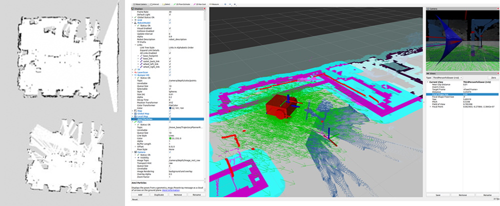
Mapping technology
- · Simultaneous localization and mapping (SLAM)-based mapping technology using LIDAR and camera information
- · Occupancy grid map (OGM) creation technology through LIDAR information and post-correction process
- · OGM modification technology using machine learning
- · Technology to convert OGM into user-friendly maps
Sensor calibration technology
- · Odometric correction technology that detects the rotation of the robot wheel and provides movement distance and posture information
- · Real-time correction technology using UWB technology, etc.
Precision with Landmark Matching
- · Singular point detection through image processing and robot pose and position estimation technology
- · Pose and location estimation technology using wired/wireless tags and visual indicators
Recognition of surrounding obstacles using multiple sensors
- · Obstacle identification technology using IR, Laser, and ultrasonic TOF sensors
- · Obstacle recognition technology using stereo camera
Precision with Landmark Matching
- · Obstacle identification technology using a dynamic obstacle identification model created through machine learning technology and an occupied space clustering model
- · Obstacle avoidance path search technology using optimized DWA algorithm
Mission routing skills
- · Multi-destination setting and destination prioritization technology for mission execution
- · Route-finding and planning techniques that pass both destinations and waypoints for optimal operation
Route planning
- · Technology to create a cost map based on potential field method calculated based on map data and obstacle sensor values
- · Mission-oriented coast map creation technology considering the location of obstacles by fixed structures, frequency of dynamic obstacles, mission purpose, etc.
- · Global route setting technology using the A* algorithm to search for the shortest path between the starting point and the destination point


